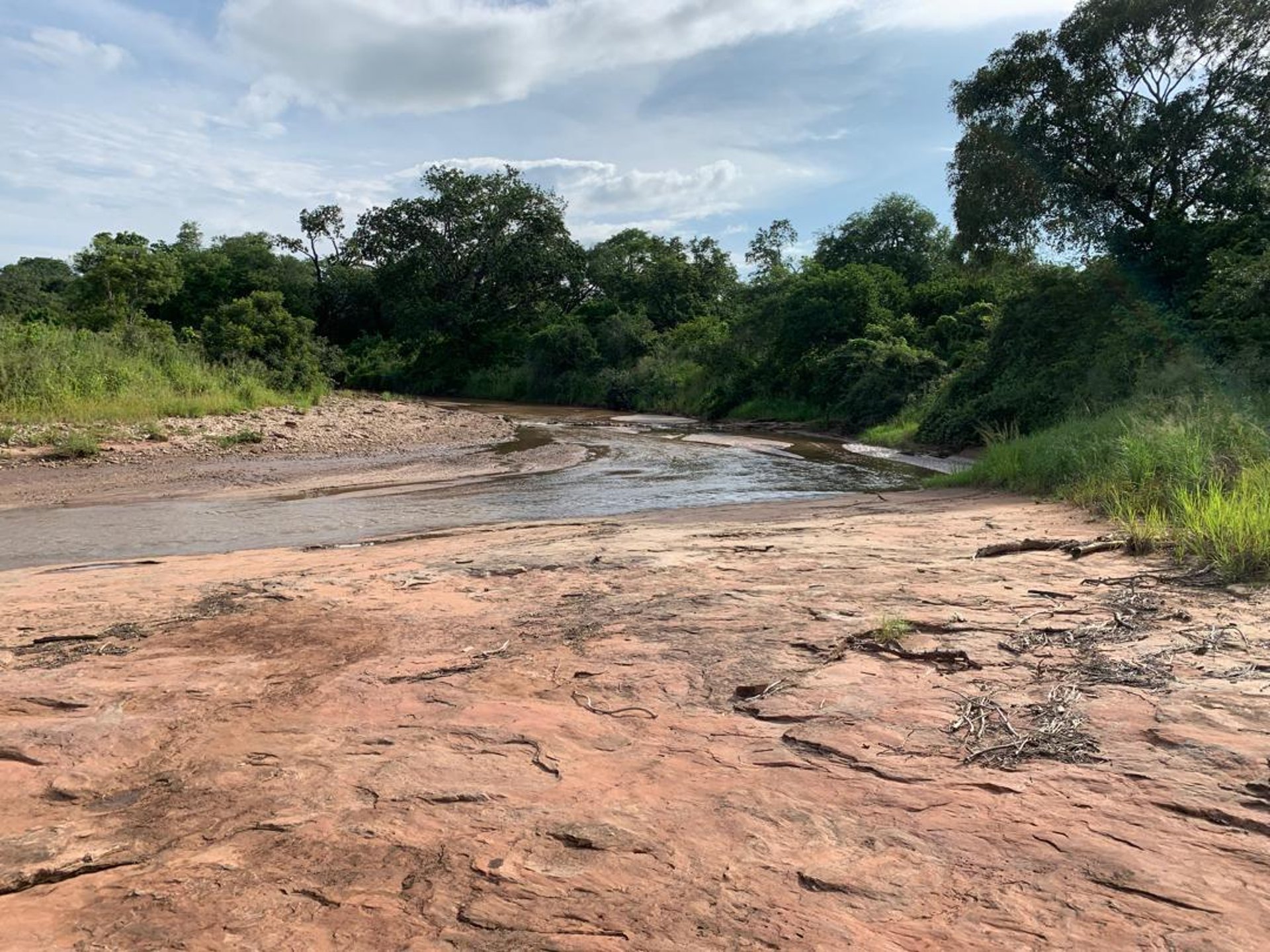

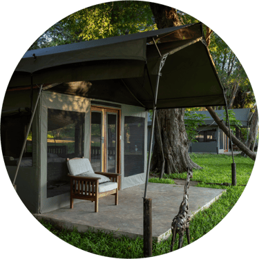
At the eastern entry point of Ntumbe, situated on the banks of the Mkanga River, lies a simple campsite that provides a perfect base for those wishing to explore Ntumbe in their own vehicles.
Mkanga Campsite
How to get there
GPS Coordinates for Ntumbe Entry Points (formerly Chewore South):
Mkanga Gate: Latitude 16°06.3397’S | Longitude 030°04.1495’E
Chewore Bridge: Latitude 17°04.3762’S | Longitude 030°52.661’E
Chenje Camp: Latitude 16°06.3400’S | Longitude 030°04.1500’E
Support our Ntumbe Project Partners


CLICK ON THE LINKS BELOW:
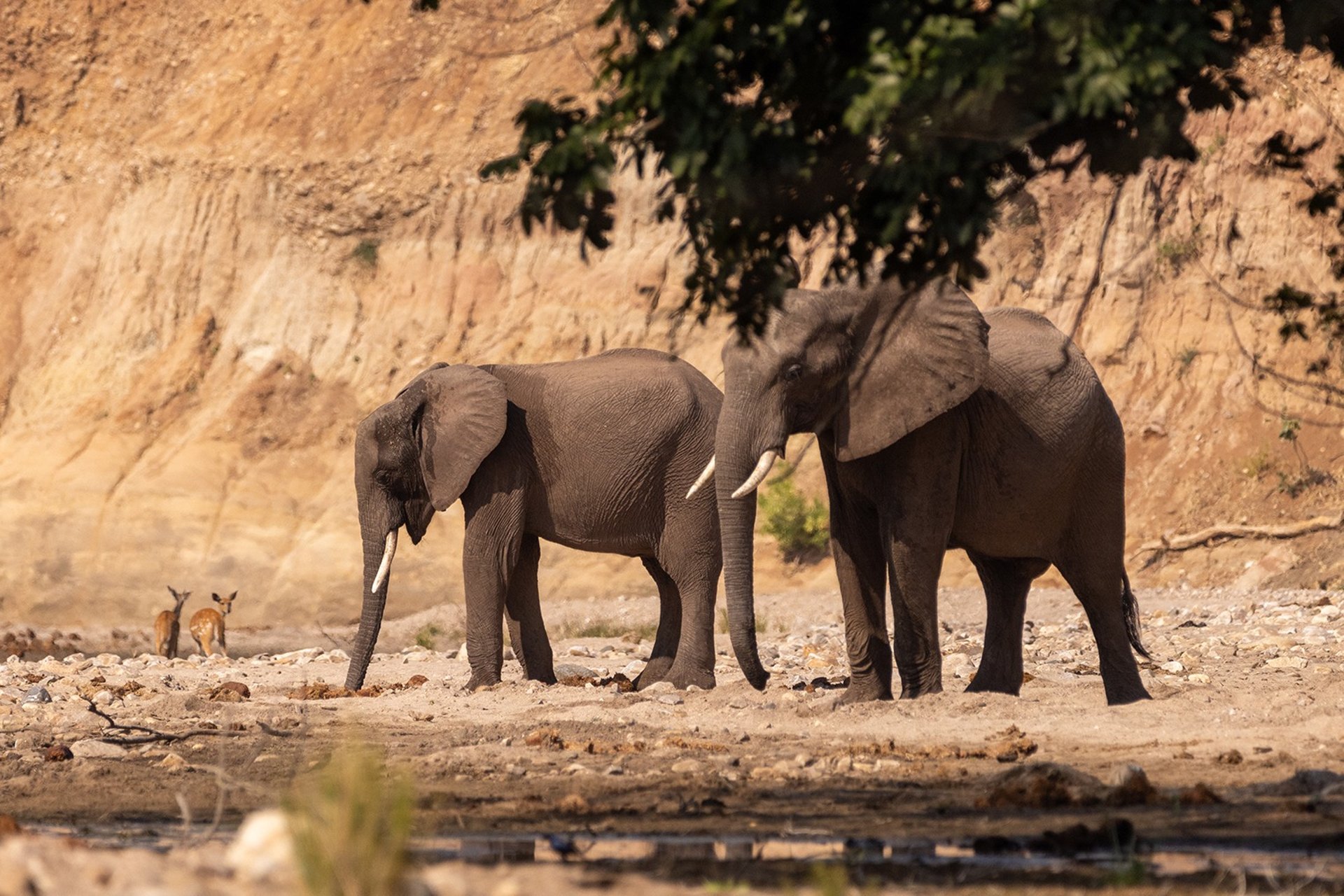
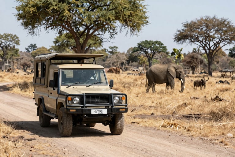
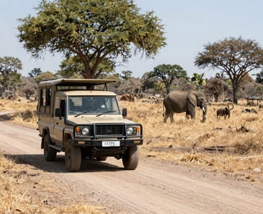
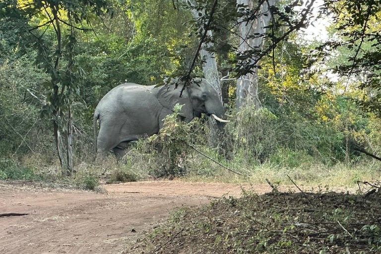
Visiting Ntumbe is one of the best ways to support local communities, advance wildlife conservation, and ensure the long-term protection and preservation of one of Africa’s last true wilderness areas. Use the link below to plan your visit to Ntumbe.
Phone/WHATSAPP
reservations@cheworeconservation.org
© 2026. All rights reserved.
Contact Ntumbe Today
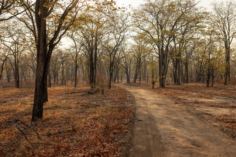
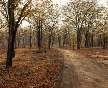
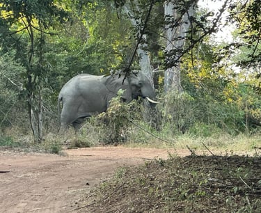
With 400 km of rugged bush tracks to explore, Ntumbe provides unparalleled access to adventure in one of Africa’s last truly wild places.
ADDRESS
24 Princess Road, Newlands, Harare, Zimbabwe